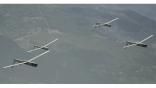
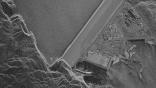
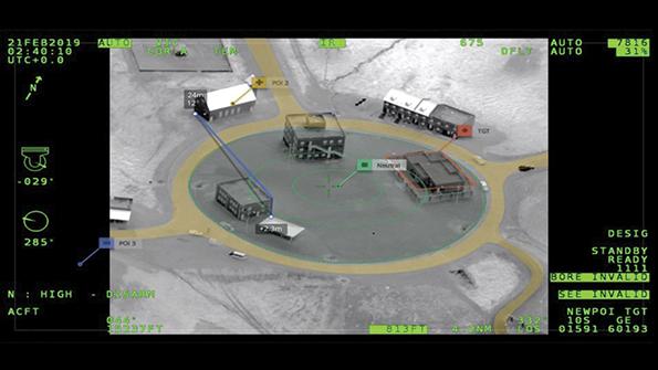
Drone Software Startups Push Real-Time 3D Mapping Of Battlefield
Credit: Edgybees
In an era when satellites can photograph and disseminate images of the war in Ukraine within 24 hr., it is hard to believe that much on the modern battlefield can escape unseen. Yet for soldiers on the ground, satellite images can be quickly outdated as the enemy moves or irrelevant when the enemy...
Drone Software Startups Push Real-Time 3D Mapping Of Battlefield is available to both Aviation Week & Space Technology and AWIN subscribers.
Subscribe now to read this content, plus receive critical analysis into emerging trends, technological advancements, operational best practices and continuous updates to policy, requirements and budgets.
Already a subscriber to AW&ST or AWIN? Log in with your existing email and password.
Related Content